Kerlingarfjöll: Snækollur Summit
Snækollur
The highest peak of Kerlingarfjöll, with views to Langjökull, Hofsjökull and Vatnajökull.
- Distance
- 9 km
- Out & back
- Time
- 4–5 hours
- Ascent
- 700 m
- Max 1477 m
- Difficulty
- Challenging
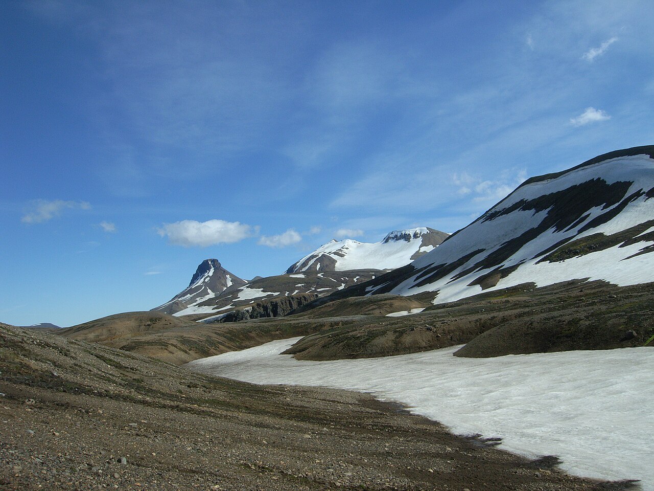
For serious Kerlingarfjoll hiking, Snækollur is the summit to aim for. At 1,477 m it is the highest peak of the Kerlingarfjöll range in the central highlands of Iceland, and on a clear day the view from the top takes in the Langjökull and Hofsjökull ice caps, the plains of Kjölur and, far to the east, the edge of Vatnajökull. Few viewpoints reachable on foot in a few hours show so much of the interior at once.
The out-and-back route from the Hveradalir car park is about 9 km with roughly 700 m of ascent, and takes four to five hours. Because you start high, the climb is shorter than the summit altitude suggests, but the terrain is loose rhyolite scree and snowfields, and the final ridge is exposed to every wind that blows across the highlands. Allow time for route-finding on the snow.
Combine it with the Hveradalir geothermal loop for a superb full day. This is a summer-only route that should be saved for clear, settled weather; in fog the summit ridge is disorienting and the view is the whole point. If cloud is sitting on the peaks, the lower Hveradalir trails are a far better use of your day. Start early, too, since cloud often builds over the peaks in the afternoon.
Highlights
- The highest summit of Kerlingarfjöll at 1,477 m
- Views to Langjökull, Hofsjökull and towards Vatnajökull
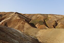
- Colourful rhyolite ridges above the steaming Hveradalir valley
- Snowfields lingering through the summer
The route
Hveradalir to the upper slopes
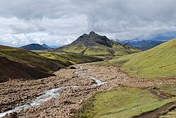
From the Hveradalir car park the route climbs away from the geothermal valley onto bare rhyolite slopes and ridges. The route is not marked, so you need to find your own way, and the clay and gravel underfoot can be greasy after rain. Views over the steaming valley below open up quickly, so it is worth stopping often on the way up.
Ridge and summit of Snækollur
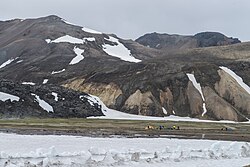
Higher up the route crosses snowfields that can remain all summer, then follows the ridge to the summit at 1,477 m. The top is exposed and usually windy, with steep drops on some sides and possible cornices early in the season. On a clear day the panorama covers much of the highlands. Return by the same route, taking care on the loose descent.
Getting to the trailhead
Kerlingarfjöll is reached via the Kjölur highland road (F35) from Gullfoss and then F347 to the resort and the Hveradalir car park. These are F-roads that require a 4x4; rental agreements forbid 2WD cars on them. Highland bus services along Kjölur have in some summers stopped at Kerlingarfjöll, so check current schedules. Super jeep tours visit the area too.
Where to stay
Highland Base Kerlingarfjöll, the mountain resort below Hveradalir, has hotel rooms, huts and a campsite, and is the natural base for the climb. Book ahead in summer. Wild camping is not permitted in the nature reserve.
Best time to hike
July to early September is the practical window, once the F-roads are open and the worst of the snow has melted. Even then, snowfields remain on the upper mountain. Pick a clear, calm day; the summit is often in cloud while the valley is clear, so check the forecast and look up before committing.
Safety
The summit ridge is exposed, cold and windy, and visibility can drop to a few metres in minutes. Carry a map and GPS, warm and waterproof layers, gloves and a hat. Snowfields can be hard and icy in the morning; microspikes are useful early in the season, and avoid cornices on the ridge. Check vedur.is, leave a travel plan at safetravel.is, and call 112 in an emergency.
Plan & book
Book your Kerlingarfjöll hike
 Huts & stays
Kerlingarfjöll Highland Base
Hotel rooms, huts and camping at the foot of the Kerlingarfjöll mountains.
Highland Base
Guided tourHighland Super Jeep Tours
No 4x4? Modified super jeeps cross the rivers and F-roads for you, with short hikes on the way.
Licensed Icelandic operators1 day
Online booking opens soon. Press any button to get notified when it does.
Kerlingarfjöll FAQ
How high is Snækollur?+
Snækollur is about 1,477 m, the highest peak in the Kerlingarfjöll range. Starting from the Hveradalir car park, the climb is only around 700 m.
How long does it take to hike Snækollur?+
The 9 km out-and-back from Hveradalir typically takes 4–5 hours, depending on snow and weather. A shorter option starts at Keis, about 1.8 km up the F347, and takes 3–5 hours for a 5–6 km return.
Do I need a guide to climb Snækollur?+
Experienced hikers can climb it independently in good summer weather with map and GPS. If you are unsure about navigating in fog or crossing snowfields, go with a guide or stick to the lower trails.
What is the best Kerlingarfjöll hike?+
For most visitors, the Hveradalir geothermal loop is the must-do. If the weather is clear and you are fit, adding Snækollur gives the best summit view in the range.
Hike it with a private guide
Guided trips with a licensed Icelandic guide, including transport and huts.
Private guide requests are coming soon
We are lining up licensed local guides. Sign up and we will let you know as soon as you can request a tailored quote.