Mælifellshnjúkur
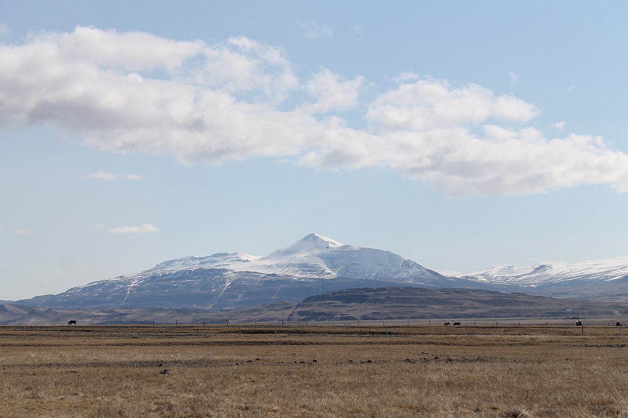
A steady climb to a 1,138 m summit in Skagafjörður with one of the widest panoramas in North Iceland on a clear day.
- Distance
- 7 km
- Out & back
- Time
- 2.5–3.5 hours
- Ascent
- 700 m
- Max 1138 m
- Difficulty
- Moderate
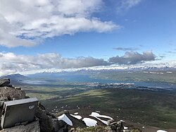
The Mælifellshnjúkur hike climbs the prominent pyramid-shaped peak that rises above the valleys of Skagafjörður in North Iceland. The out-and-back route is 7 km with around 700 m of ascent, takes 2.5–3.5 hours, and tops out at 1,138 m. Because the mountain stands on its own between the lowlands and the interior, the summit view on a clear day is huge, stretching over Skagafjörður and far into the highlands.
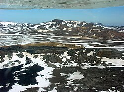
It is a moderate climb with no technical sections, but it is steep and stony in places and the upper slopes are bare scree. The route is marked and follows the ridge on the western side of the peak. The short season reflects the height: snow often lingers on the upper mountain well into summer. Pick a clear day, since the view is the whole point and the summit is often in cloud.
Highlights
- A standalone summit at 1,138 m
- Wide views over Skagafjörður and towards the interior
- Short, direct route that fits in half a day
- Quiet compared with south coast trails
The route
Trailhead to the ridge
From the trailhead on the west side of the mountain the path climbs steadily over grassy and then stony slopes. The gradient is consistent rather than brutal, and the views over the valleys open quickly. Follow the markers, which help in poor visibility, and pace yourself: most of the ascent is packed into a short distance.
Upper slopes to the summit
Higher up the vegetation disappears and the path crosses loose scree and rock towards the top. Snow patches are common in early summer and can be hard in the morning. The summit has space to rest and take in the panorama. Return the same way, taking care on the loose descent, which is harder on the knees than the climb.
Getting to the trailhead
Mælifellshnjúkur lies about 18 km south of Varmahlíð in Skagafjörður. Take Route 752 and then the gravel road 756 (Mælifellsdalsvegur) to a signed parking area at the trailhead. Gravel road conditions vary, so check road.is and local advice before driving. Varmahlíð is on Route 1 between Reykjavík and Akureyri.
Where to stay
Varmahlíð has a hotel, guesthouses and a campsite and is the closest base. Sauðárkrókur, a little further north, has more services and a swimming pool, and there are farm stays scattered around Skagafjörður.
Best time to hike
The season is July to September. Earlier in summer the upper slopes usually hold snow and the access track can be wet or blocked. July and August give the best odds of a clear summit. By late September, early snow and short days start to close the window.
Safety
The summit is exposed to wind and often in cloud, and conditions can be wintry at 1,138 m even in summer. Carry warm layers, a waterproof and a map or GPS track, and turn back in fog if you lose the markers. Snow patches can be icy, and the scree is loose on the descent. Leave a travel plan at SafeTravel.is and call 112 in an emergency.
Plan & book
Book your Mælifellshnjúkur hike
 Camping
Ásbyrgi & Vesturdalur Campsites
National park campsites in Jökulsárgljúfur canyon.
Vatnajökull National Park
Guided tourDiamond Circle & Canyon Tours
Dettifoss, Ásbyrgi and Mývatn from Akureyri or Húsavík.
North Iceland operators1 day
Online booking opens soon. Press any button to get notified when it does.
Mælifellshnjúkur FAQ
How long does it take to climb Mælifellshnjúkur?+
Most hikers take 2.5–3.5 hours for the 7 km round trip, which includes around 700 m of ascent.
Is Mælifellshnjúkur hard?+
It is a moderate hike: steep and stony in places but not technical. Reasonable fitness and good boots are enough in summer conditions.
When can you hike Mælifellshnjúkur?+
July to September is the usual season. Outside that period the mountain is typically snow-covered and the access track may be impassable.
Hike it with a private guide
Guided trips with a licensed Icelandic guide, including transport and huts.
Private guide requests are coming soon
We are lining up licensed local guides. Sign up and we will let you know as soon as you can request a tailored quote.