Þórólfsfell
A 9 km out-and-back climb of Þórólfsfell at the end of Fljótshlíð, with views of Eyjafjallajökull and the Markarfljót plains.
- Distance
- 9 km
- Out & back
- Time
- 2.5–4 hours
- Ascent
- 450 m
- Max 574 m
- Difficulty
- Moderate
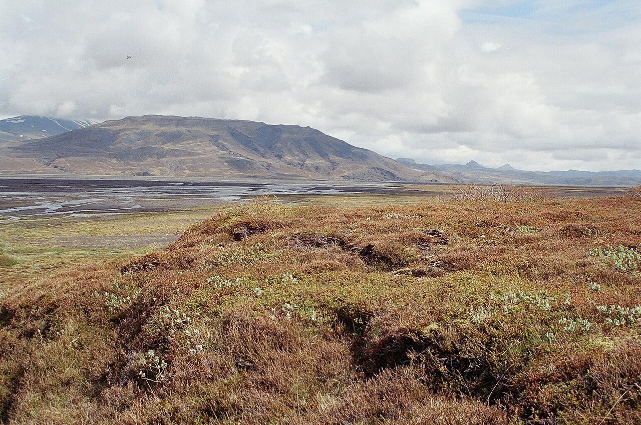
The Þórólfsfell hike climbs a solitary mountain at the inner end of Fljótshlíð in South Iceland, facing Eyjafjallajökull across the broad Markarfljót river plain. The out-and-back route is 9 km and takes 2.5–4 hours, with 450 m of total ascent to a high point of 574 m. It is a moderate climb on hill paths, with steep sections near the top.
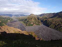
Few visitors make it this far up Fljótshlíð, so the trail is usually quiet. From the summit you look straight across to the ice cap that erupted in 2010, along the braided glacial river channels toward Þórsmörk, and back over the green farmland of the valley. On a clear day it is one of the best views in the region for the effort involved.
Highlights
- Close-up views of Eyjafjallajökull across the Markarfljót plain
- Braided river channels running toward Þórsmörk
- Quiet trail far from the main tourist routes
- Farmland and waterfalls along the Fljótshlíð road on the way
The route
Trailhead to the lower slopes
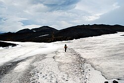
The route starts from the end of the Fljótshlíð road area and climbs gradually over grassy slopes and gravel. The first part is gentle, giving time to warm up and take in the valley and river plain behind you. There is little shelter, so put on a windproof layer early.
Steep climb to the summit
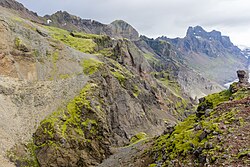
Higher up, the path steepens on loose gravel and rock as it reaches the top at 574 m. This is where most of the 450 m of ascent comes. From the summit, Eyjafjallajökull and the Markarfljót plain spread out below, with Tindfjöll and the mountains around Þórsmörk in view. Return the same way, taking care on the steep, loose descent.
Getting to the trailhead
Fljótshlíð is reached via Route 261 from Hvolsvöllur, about 1.5 hours from Reykjavík. The road runs east along the valley and becomes gravel and rougher toward its end, with the last stretch designated an F-road. Check road.is for current conditions and your rental terms before driving. There is no public transport to the trailhead.
Where to stay
Hvolsvöllur, about 30–40 minutes away, has hotels, guesthouses and a campsite. There are also farm stays and guesthouses along Fljótshlíð itself, which put you closer to the trailhead. Book ahead in summer, when this part of the south coast is busy.
Best time to hike
June to September is the best time, when snow has melted from the mountain and the road is in good condition. July and August are the most reliable. Outside this window, snow on the steep upper slopes and rough road conditions make the hike much harder.
Safety
The upper slopes are steep and loose, so take care, especially on the descent. Weather near the glaciers can change quickly, with strong winds and low cloud. Do not try to cross glacial rivers on the plain. Check vedur.is and SafeTravel.is before setting out, leave a travel plan, and call 112 in an emergency.
Plan & book
Book your Þórólfsfell hike
 Camping
South Iceland Campsites
Campsites from Þakgil to Vík and Skógar.
Tjalda.is directory
Guided tourSouth Coast Tours
Seljalandsfoss, Skógafoss, Vík and the glacier lagoon. Multi-day versions reach Skaftafell.
Licensed Icelandic operators1–3 days
Glacier hikeSólheimajökull Glacier Hike
The most accessible glacier hike in Iceland, 2.5 hours from Reykjavík near Vík.
Certified glacier guides3 hours (or day trip)
Online booking opens soon. Press any button to get notified when it does.
Þórólfsfell FAQ
How long is the Þórólfsfell hike?+
It is a 9 km out-and-back that takes 2.5–4 hours, with 450 m of ascent to a high point of 574 m.
Is Þórólfsfell hard to climb?+
It is rated moderate. The lower slopes are gentle, but the final section is steep and loose. Good boots and poles help on the descent.
Can you see Eyjafjallajökull from Þórólfsfell?+
Yes. Þórólfsfell faces Eyjafjallajökull across the Markarfljót plain, and on clear days the view of the ice cap is excellent.
Hike it with a private guide
Guided trips with a licensed Icelandic guide, including transport and huts.
Private guide requests are coming soon
We are lining up licensed local guides. Sign up and we will let you know as soon as you can request a tailored quote.