Hekla Summit
Hekla
A demanding summer climb up Iceland's most notorious volcano, over lava, ash and snow to a summit ridge at about 1,491 m.
- Distance
- 13 km
- Out & back
- Time
- 4.5–6 hours
- Ascent
- 950 m
- Max 1491 m
- Difficulty
- Challenging
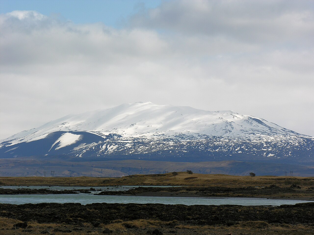
The Hekla hike takes you to the top of the most famous active volcano in Iceland, once known in medieval Europe as a gateway to hell. The measured route is 13 km out and back, takes 4.5–6 hours (allow longer with breaks) and involves about 950 m of total ascent to a high point of roughly 1,491 m. It is a challenging day: long, steady climbing over loose lava and ash, with snowfields that linger on the upper slopes well into summer.
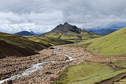
Hekla has erupted many times in recorded history, most recently in 2000, and is closely monitored because eruptions can begin with very little warning. On a clear day the summit ridge gives an enormous view over the southern highlands, the Fjallabak mountains, Mýrdalsjökull and the black lava fields that Hekla itself has laid down. In cloud you see very little, so wait for a good forecast.
Highlights
- Standing on one of Iceland's most active and storied volcanoes
- Vast views over the southern highlands and distant ice caps on clear days
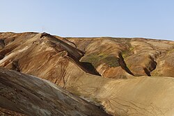
- Recent lava fields and ash slopes in shades of black and red
- Snowfields and possible warm spots near the summit
The route
Lava fields and lower slopes
From the trailhead on the north side of the mountain, the route crosses rough lava and ash, then begins a long, gradual climb up the northern shoulder. Markers can be sparse, and the ground is a mix of loose gravel and sharp blocks, so good boots matter. The gradient is steady rather than steep, which makes it easy to set a sustainable pace.
Upper ridge and snowfields
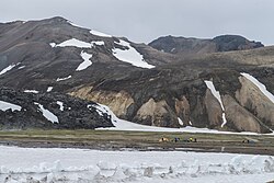
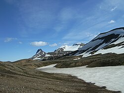
Higher up, the slope steepens and snow patches are common, even in August. Crossing them is usually straightforward in summer but can be firm and slippery in the morning. The terrain turns barren and the wind picks up. Navigation needs care in poor visibility, as the broad slopes look much the same in every direction.
Summit area and descent
The summit ridge near 1,491 m is often cold and windy. Do not linger, and keep away from any steaming or hot ground. Return the same way, taking care on the loose descent and on snow, where a slip can turn into a fast slide. Allow plenty of daylight for the walk back to the car.
Getting to the trailhead
The usual route starts on the north side of Hekla, reached via the highland road F225 (Landmannaleið) from Route 26. A 4x4 is required on F225, and the final track toward Skjólkvíar and the trailhead can be rough. The area is roughly two and a half hours' drive from Reykjavík. F-roads typically open only in summer, so check road.is for opening dates and conditions before you go.
Where to stay
There are guesthouses, farm stays and campsites along Route 26 and in the Hella and Landsveit area, which make a good base for an early start. Hella has the widest range of accommodation and services nearby. Further into the highlands, Landmannalaugar is another option if you are already touring by 4x4.
Best time to hike
July to September is the season. Earlier in the year the upper slopes are usually deep in snow and the F-road may still be closed; by late September weather deteriorates quickly. Pick a clear, calm day, as cloud often sits on the summit and removes both views and navigation landmarks.
Safety
Hekla is an active volcano that can erupt with very little warning. Check the Icelandic Met Office (vedur.is) and SafeTravel.is for any alerts before setting off, and leave a travel plan with SafeTravel. If you feel earthquakes or receive a warning, descend immediately. Expect strong wind, sudden fog, snow and loose ground. Carry navigation, warm layers and food. In an emergency call 112.
Plan & book
Book your Hekla Summit hike
 Huts & stays
Mountain Huts (Ferðafélag Íslands)
Book bunks in the Laugavegur and highland huts. Summer dates sell out months ahead.
Ferðafélag Íslands (FÍ)
Guided tourHighland Super Jeep Tours
No 4x4? Modified super jeeps cross the rivers and F-roads for you, with short hikes on the way.
Licensed Icelandic operators1 day
Gear rentalHiking & Camping Gear Rental in Reykjavík
Rent tents, sleeping bags, stoves, poles and microspikes instead of flying them over.
Reykjavík outfitters
Online booking opens soon. Press any button to get notified when it does.
Hekla Summit FAQ
How long does it take to hike Hekla?+
The measured route is 13 km out and back with about 950 m of ascent, and most fit hikers take 4.5–6 hours. Allow longer with breaks.
Is it safe to climb Hekla?+
It is a recognised hiking route, but Hekla is an active volcano that can erupt with very little warning. Check vedur.is and SafeTravel.is for alerts, register a travel plan, and turn back if conditions change.
Do I need a 4x4 to reach Hekla?+
Yes. The trailhead is reached via the highland road F225, where 4x4 vehicles are required, and access is usually only possible in summer.
Can you hike Hekla in winter?+
Only with mountaineering experience and equipment. The upper mountain is snow-covered, access roads close and weather is severe. For most hikers the realistic window is July to September.
Hike it with a private guide
Guided trips with a licensed Icelandic guide, including transport and huts.
Private guide requests are coming soon
We are lining up licensed local guides. Sign up and we will let you know as soon as you can request a tailored quote.