Hengill
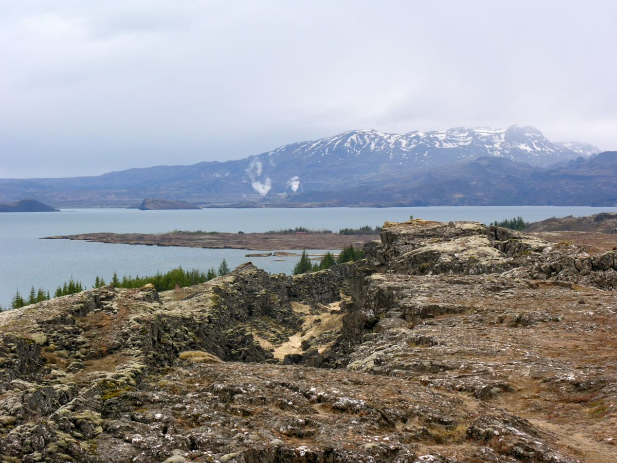
A long day climb from Sleggjubeinsdalur into the steaming Hengill volcanic area to its 803 m summit, Vörðu-Skeggi.
- Distance
- 13 km
- Out & back
- Time
- 4–5.5 hours
- Ascent
- 700 m
- Max 803 m
- Difficulty
- Challenging
The Hengill hike climbs into one of the largest geothermal areas in Iceland, just 30–40 minutes' drive east of Reykjavík. The out-and-back route is 13 km, takes 4–5.5 hours and involves around 700 m of ascent, reaching 803 m. It starts in Sleggjubeinsdalur, off Route 1 at Hellisheiði, and heads up through valleys and ridges to Vörðu-Skeggi, the summit of the Hengill massif.
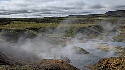
Hengill is an active volcanic system, and the area is full of steaming vents, hot streams and coloured clay. The walk is challenging because of its length and the rough terrain on the upper slopes, but the trails are marked and the views over Þingvallavatn, the south lowlands and the capital area are excellent. Stay on paths near geothermal features, as the ground can be thin.
Highlights
- Steaming vents and geothermal ground
- Views over Þingvallavatn and the lowlands
- A big mountain day close to Reykjavík
- Marked trails through varied volcanic terrain
The route
Sleggjubeinsdalur to the upper slopes
From the car park in Sleggjubeinsdalur the route climbs out of the valley below the Hengill massif, passing grassy slopes and lava. The path is marked and steady, with views of steam rising from geothermal areas and the power plant behind you.
Ridges to the summit
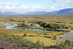
Higher up the trail crosses rocky ridges and gravel slopes, with some steep sections and patches of snow possible into early summer. The summit, Vörðu-Skeggi, offers wide views in all directions, from Þingvallavatn to the south coast lowlands. Watch your footing on the loose ground and keep track of the markers if cloud comes in.
The return
Descend the same way, taking care on the steep, loose slopes, which are harder on the knees going down. The long return gives time to enjoy the views over the lowlands and the steam plumes below. Start early, as the full route takes most of a day and the weather often worsens in the afternoon.
Getting to the trailhead
The hike starts at the car park in Sleggjubeinsdalur, reached from Route 1 at Hellisheiði close to the Hellisheiði geothermal power plant, about 30–40 minutes' drive east of Reykjavík. Check road.is for conditions on Hellisheiði, which can close in winter storms.
Where to stay
Hengill is an easy day trip from Reykjavík, so most hikers stay in the city. Hveragerði, about 15 minutes' drive east, also has guesthouses, hotels and a campsite and makes a convenient, quieter base.
Best time to hike
The season is June to September, when the upper slopes are mostly snow-free. July and August are most reliable. Outside summer, snow, ice and short days make the route much harder.
Safety
Geothermal ground can be thin and scalding, so stay on marked paths near vents and hot springs. The upper slopes are steep and loose, and fog can roll in quickly. Weather on Hellisheiði changes fast. Carry warm layers, water, a map or GPS. Leave a travel plan at SafeTravel.is and call 112 in an emergency.
Plan & book
Book your Hengill hike
 Guided tour
Golden Circle Tours with Hiking
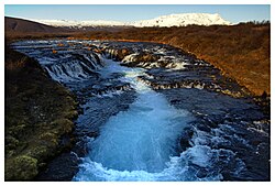
Þingvellir, Geysir and Gullfoss combined with short hikes, including some that stop at Brúarfoss.
Licensed Icelandic operators8–10 hours
Guided tourReykjadalur Hot Spring Hike Tour
Pickup in Reykjavík, a guided hike up the steaming valley and a soak in the hot river.
Licensed Icelandic operators5–6 hours
Online booking opens soon. Press any button to get notified when it does.
Hengill FAQ
How long is the Hengill hike?+
The out-and-back route is 13 km and takes 4–5.5 hours, with around 700 m of ascent.
Is Hengill hard?+
It is challenging because of the length and rough upper slopes, though it is not technical.
Is Hengill an active volcano?+
Yes. Hengill is an active volcanic system with extensive geothermal activity. Its last eruptions were roughly 2,000 years ago, but the ground is hot in places, so stay on marked paths.
Hike it with a private guide
Guided trips with a licensed Icelandic guide, including transport and huts.
Private guide requests are coming soon
We are lining up licensed local guides. Sign up and we will let you know as soon as you can request a tailored quote.