Þingvellir: Almannagjá & Öxarárfoss
An 8.5 km loop through Almannagjá rift, past the Law Rock to Öxarárfoss waterfall in Þingvellir National Park.
- Distance
- 8.5 km
- Loop
- Time
- 2–2.5 hours
- Ascent
- 40 m
- Max 140 m
- Difficulty
- Moderate
The Þingvellir hike is one of the easiest ways to see two of Iceland's big stories at once: the rift between the North American and Eurasian plates, and the site where the Alþingi assembly met from 930 AD. This 8.5 km loop takes 2–2.5 hours, with only 40 m of ascent and a high point of 140 m. Paths are wide and well signed, so it suits almost anyone.
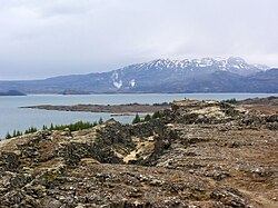
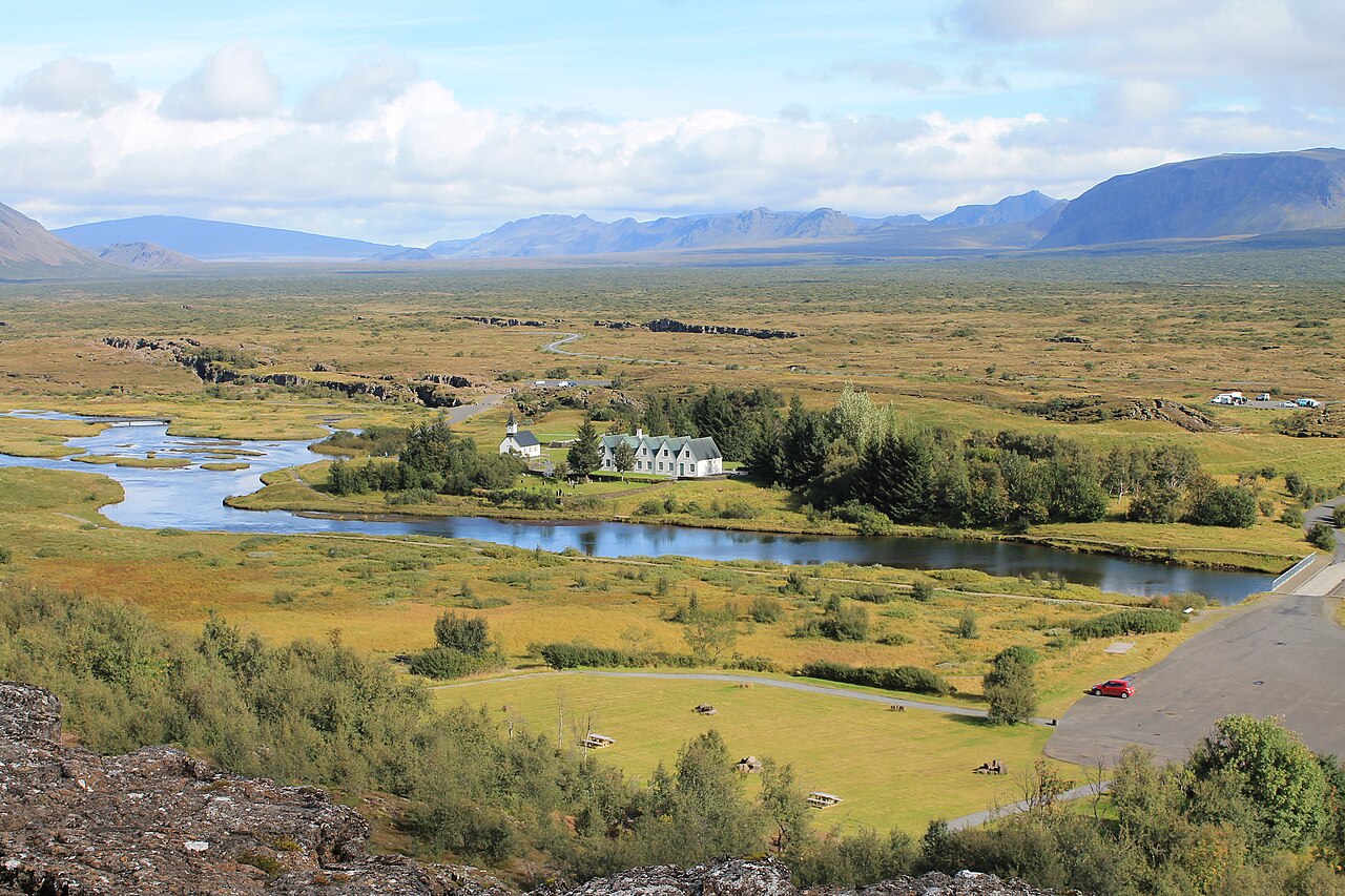
The loop starts near the Hakið visitor centre on the rim of Almannagjá, drops into the rift and follows it past Lögberg, the Law Rock, before branching to Öxarárfoss, where the Öxará river spills over the edge of the gorge. It then continues through lava fields and birch scrub on the valley floor, past Þingvellir church and the old farm, with views over Þingvallavatn, Iceland's largest natural lake. Þingvellir National Park is a UNESCO World Heritage Site.
Highlights
- Walking through Almannagjá, the rift wall of the North American plate
- Lögberg, the Law Rock, where the medieval assembly met
- Öxarárfoss waterfall tumbling into the gorge
- Clear spring-fed fissures such as Peningagjá
- Views over Þingvallavatn lake
The route
Hakið to Lögberg through Almannagjá
From the viewpoint at Hakið a paved path descends into Almannagjá, the great fissure along the edge of the North American plate. Walls of basalt rise on your left as you walk the floor of the rift. Information boards mark Lögberg, the Law Rock, and the flagpole where the assembly gathered. This first section is busy but easy, and fully accessible in summer.
Detour to Öxarárfoss
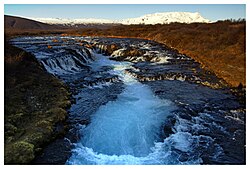
A short side path follows the gorge north to Öxarárfoss, where the Öxará river drops over the rift wall into a narrow chasm. It is a small but photogenic waterfall, especially after rain or snowmelt. Return the same way or continue on the path along the top, depending on conditions and signage.
Valley floor, church and lakeshore
The rest of the loop crosses the Öxará and leads onto the lava plain, past Drekkingarhylur pool and Þingvellir church, then along fissures filled with very clear groundwater. Quieter paths wind through birch and moss before the route returns to the car parks. Stay on the marked paths; the moss and lava here are fragile and slow to recover.
Getting to the trailhead
Þingvellir is about 45 minutes' drive from Reykjavík on Route 36 and is the first stop on most Golden Circle tours. There are several car parks around the park, including at Hakið above Almannagjá; parking fees apply. If you are not driving, a Golden Circle day tour is the simplest option, as public transport to the park is very limited.
Where to stay
Most visitors base themselves in Reykjavík, but staying closer lets you walk early or late, when the paths are quiet. The national park runs campsites in summer, and there are hotels and guesthouses in the surrounding countryside and on the way toward Laugarvatn and the rest of the Golden Circle.
Best time to hike
The trail is open all year. Summer brings long days, green moss and the busiest crowds, so start early or walk in the evening. Autumn colours in the birch scrub are lovely in September. In winter the paths can be icy and the Öxarárfoss area is sometimes partly closed, but the snowy rift is striking; bring microspikes.
Safety
This is a low-risk walk, but take care in winter when paths turn icy and wind funnels through the rift. Do not climb fissure edges or cross fences: some cracks are deep and water-filled. Keep children close near the gorge and Öxarárfoss. Check the forecast and SafeTravel.is before driving in winter, and call 112 in an emergency.
Plan & book
Book your Þingvellir hike
 Guided tour
Golden Circle Tours with Hiking
Þingvellir, Geysir and Gullfoss combined with short hikes, including some that stop at Brúarfoss.
Licensed Icelandic operators8–10 hours
Guided tourReykjadalur Hot Spring Hike Tour
Pickup in Reykjavík, a guided hike up the steaming valley and a soak in the hot river.
Licensed Icelandic operators5–6 hours
Online booking opens soon. Press any button to get notified when it does.
Þingvellir FAQ
How long is the Þingvellir walk?+
This loop is 8.5 km and takes 2–2.5 hours, with only 40 m of ascent. If you just want Almannagjá and Öxarárfoss, you can do a shorter out-and-back from Hakið in about an hour.
Is the Þingvellir hike easy?+
Yes for most people. Paths are wide and mostly flat, with a gentle descent into the rift. The full loop is rated moderate only because of its length; the core Almannagjá section is easy.
Is Þingvellir free to visit?+
Entry to the national park is free, but parking fees apply at the main car parks. Activities such as snorkelling in Silfra are booked separately with tour operators.
Can you hike Þingvellir in winter?+
Yes. The park is open all year, but paths can be icy and some sections may be closed for safety. Microspikes and a check of the weather forecast are a good idea.
Hike it with a private guide
Guided trips with a licensed Icelandic guide, including transport and huts.
Private guide requests are coming soon
We are lining up licensed local guides. Sign up and we will let you know as soon as you can request a tailored quote.