Landmannalaugar to Hrafntinnusker
Hrafntinnusker
A 20 km round trip along the first stage of the Laugavegur to the obsidian ridges and steaming vents of Hrafntinnusker.
- Distance
- 20 km
- Out & back
- Time
- 5.5–7.5 hours
- Ascent
- 650 m
- Max 1050 m
- Difficulty
- Challenging
The Hrafntinnusker day hike follows the first stage of the Laugavegur trail from Landmannalaugar up to the obsidian-strewn high ground and the Höskuldsskáli hut at Hrafntinnusker, and back. It is one of the toughest day hikes in Iceland's southern highlands: about 10 km each way, 20 km out-and-back, 5.5–7.5 hours, with 650 m of ascent and a high point of 1,050 m. It is rated challenging for its length, altitude and exposure to weather.
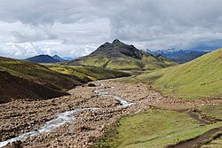
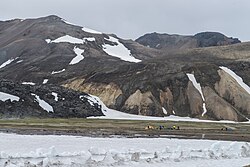
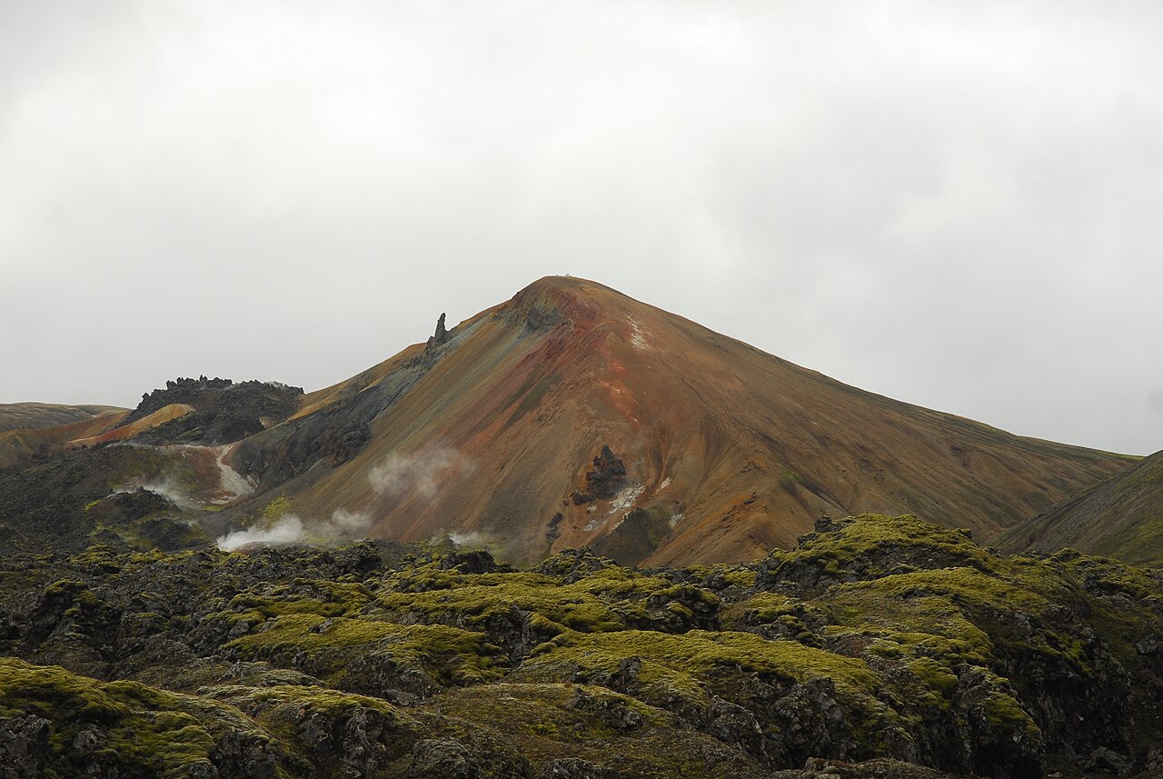
The route climbs past steaming vents and colourful rhyolite slopes, then onto a stark plateau of black obsidian, snowfields and fumaroles. Hrafntinnusker means obsidian skerry, and the glassy rock is everywhere near the top. Fog, snow and strong wind are common even in midsummer. If you would rather not walk back the same day, you can stay at the Hrafntinnusker hut, booked in advance.
Highlights
- Black obsidian fields around Hrafntinnusker
- Steaming fumaroles and the Stórihver hot spring area
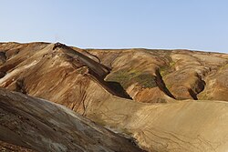
- Rhyolite slopes in red, orange and green
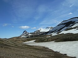
- Snowfields lingering into summer
- A taste of the Laugavegur without the multi-day logistics
The route
Landmannalaugar to Brennisteinsalda
The trail leaves the hut and winds through the Laugahraun lava field with its obsidian boulders, then climbs past the colourful slopes of Brennisteinsalda. Steam rises from vents beside the path. This is the busiest part of the route, shared with Laugavegur trekkers and day hikers.
Up to Hrafntinnusker
Beyond the Stórihver geothermal area the trail climbs onto high ground at over 1,000 m, crossing snowfields and black obsidian ridges, and reaches the Hrafntinnusker hut (Höskuldsskáli), the high point of the route at about 1,050 m. The landscape is stark and exposed. In fog, follow the marker stakes closely.
Return to Landmannalaugar
Turn around at the Höskuldsskáli hut and walk back the same way. The descent is long and can be tiring on the knees, especially on snow and scree. Leave plenty of time to get back before evening, especially in September. Refill water at the huts.
Getting to the trailhead
Landmannalaugar is reached on highland roads F208 or F225, which require a 4x4 and are open only in summer. The final approach to the hut involves a river ford; many park before it and cross on the footbridge. Summer highland buses run from Reykjavík. Check road.is for current openings and conditions.
Where to stay
Ferðafélag Íslands (FÍ) runs the huts and campsites at Landmannalaugar and Hrafntinnusker. Both huts get booked up in summer, so reserve early. Staying at Hrafntinnusker turns this into a more relaxed two-day trip.
Best time to hike
July, August and September, when the highland roads are open. Early July often has extensive snow on the upper part of the route; August usually has the best conditions. September is quieter but colder, with shorter days and a risk of early snow.
Safety
This is a long, high and exposed hike. Weather can change from sunshine to fog, sleet or snow quickly, even in July. Carry waterproofs, warm layers, food, water and a map or GPS track. Follow the marker stakes in poor visibility. Stay away from geothermal ground off the path. Check vedur.is and SafeTravel.is, leave a travel plan, and call 112 in an emergency.
Plan & book
Book your Landmannalaugar to Hrafntinnusker hike
 Transport
Highland Bus to Landmannalaugar
Daily summer buses from Reykjavík to the Laugavegur trailhead. No 4x4 needed.
Reykjavik Excursions · Trex
Huts & staysMountain Huts (Ferðafélag Íslands)
Book bunks in the Laugavegur and highland huts. Summer dates sell out months ahead.
Ferðafélag Íslands (FÍ)
Guided tourLandmannalaugar Day Tour from Reykjavík
A 4x4 or highland-bus day trip with time to hike the rhyolite mountains and bathe in the hot spring.
Licensed Icelandic operators10–12 hours
Online booking opens soon. Press any button to get notified when it does.
Landmannalaugar to Hrafntinnusker FAQ
How long is the Landmannalaugar to Hrafntinnusker hike?+
As a day hike it is about 10 km each way to the Höskuldsskáli hut, 20 km out-and-back, taking 5.5–7.5 hours, with 650 m of ascent and a high point of 1,050 m.
Is the Hrafntinnusker hike hard?+
Yes. It is rated challenging because of its length, total ascent and exposure to highland weather. You need good fitness, navigation skills and proper gear.
Can I stay overnight at Hrafntinnusker?+
Yes. FÍ runs a hut and campsite at Hrafntinnusker. Book well in advance; it is a popular stop on the Laugavegur trek.
Is there snow on the way to Hrafntinnusker in summer?+
Often, especially in early July. Snowfields can cover parts of the trail near the top, and fresh snow is possible at any time of the season.
Hike it with a private guide
Guided trips with a licensed Icelandic guide, including transport and huts.
Private guide requests are coming soon
We are lining up licensed local guides. Sign up and we will let you know as soon as you can request a tailored quote.