Strútsstígur Trail
Strútsstígur
A quieter alternative to the Laugavegur through Fjallabak, past Eldgjá and hot springs.
- Distance
- 45 km
- Point to point
- Time
- 3–4 days
- Ascent
- 1400 m
- Max 650 m
- Difficulty
- Challenging
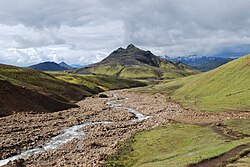
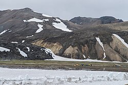
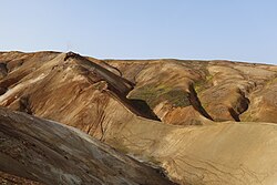
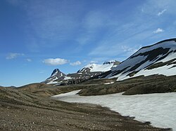
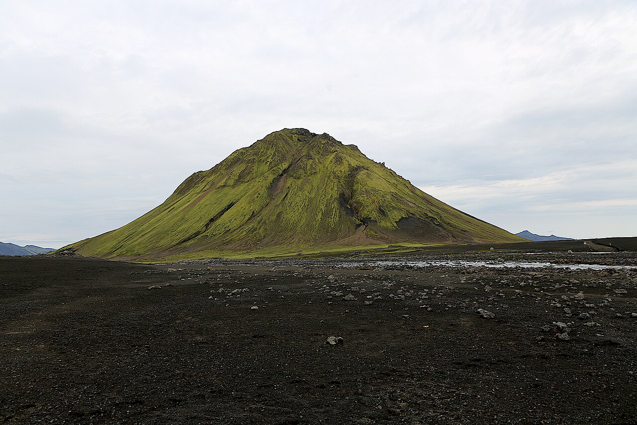
The Strútsstígur trail is a quieter alternative to the Laugavegur, crossing the Fjallabak region of the Icelandic highlands from Hólaskjól to Hvanngil over three to four days. The route is about 45 km and passes some of the most dramatic scenery in the interior: the Eldgjá volcanic fissure, black-sand deserts, green oases, glacial rivers and the hot spring of Strútslaug, all with far fewer hikers than on its famous neighbour.
The trail is served by mountain huts run by the Icelandic hiking club Útivist, including Strútur hut. It joins the Laugavegur at Hvanngil, so many hikers continue on to Emstrur and Þórsmörk, creating a longer and more varied trek. Marking is sparse and in places absent, so you will need a map and a GPS track, plus river-crossing shoes and good mountain experience.
Strútsstígur suits hikers who have done the Laugavegur or want a similar experience without the crowds. It is a serious undertaking: remote, with unbridged rivers and changeable weather. Hut bookings and careful planning are essential, and a guided trip is a good option if you are new to highland trekking. Plan carefully around transport too, since the start and finish are far apart and served only by seasonal buses, and allow a spare day for bad weather.
Highlights
- The Eldgjá volcanic fissure and Ófærufoss waterfall
- Bathing in the Strútslaug hot spring
- Black-sand deserts and green highland oases
- Quiet trails compared with the Laugavegur
- Joining the Laugavegur at Hvanngil
Strútsstígur Trail itinerary
Day 1: Hólaskjól and Eldgjá to Álftavötn
Start at Hólaskjól on F208, ideally with a detour to Eldgjá, a giant volcanic fissure with the Ófærufoss waterfall. The trail heads west through mossy lava fields and green valleys to the Útivist hut at Álftavötn (not to be confused with Álftavatn on the Laugavegur). Expect some stream crossings and highland weather.
Day 2: Álftavötn to Strútur
The route continues west across black-sand plains towards the mountain Strútur. A detour leads to Strútslaug, a natural hot spring in a remote valley, perfect for a soak. The Útivist hut at Strútur sits in a sheltered spot at the foot of the mountain, with Mýrdalsjökull filling the southern skyline on clear days.
Day 3: Strútur to Hvanngil
The final stage crosses Mælifellssandur, a vast black-sand desert, before descending to Hvanngil on the Laugavegur. River crossings are common, and the desert can be exposed to wind and sandstorms. From Hvanngil, many hikers continue on the Laugavegur to Emstrur and Þórsmörk.
Getting to the trailhead
Hólaskjól is on F208 between Landmannalaugar and Kirkjubæjarklaustur, an F-road requiring a 4x4 with river crossings. Highland buses have served the Eldgjá area in some summers; check current schedules. From Hvanngil, most hikers continue on the Laugavegur to Þórsmörk, where highland buses typically run to Reykjavík.
Where to stay
Útivist runs huts along the trail, including Álftavötn and Strútur; book well in advance. Hólaskjól is a private highland centre with a lodge, small huts and a campsite. At Hvanngil, FÍ runs a hut. Camping is allowed only at designated sites near the huts.
Best time to hike
The trail is usually accessible in July and August, when the F-roads are open and snow has melted. Even then, weather can be cold, wet and windy. September can bring early snow.
Safety
River crossings are common; wade only where safe, facing upstream with poles, and cross early in the day when glacial melt is lowest. Weather can change rapidly, so carry full waterproofs and warm layers. Navigation can be challenging in poor visibility; carry a map and GPS. Leave a travel plan at safetravel.is, check vedur.is, and call 112 in an emergency.
Plan & book
Book your Strútsstígur Trail hike
 Huts & stays
Mountain Huts (Ferðafélag Íslands)
Book bunks in the Laugavegur and highland huts. Summer dates sell out months ahead.
Ferðafélag Íslands (FÍ)
Trek packageMulti-Day Trekking Packages
Guided or self-guided packages: huts, luggage transfers, meals and transport, all arranged for you.
Licensed Icelandic operators3–10 days
Gear rentalHiking & Camping Gear Rental in Reykjavík
Rent tents, sleeping bags, stoves, poles and microspikes instead of flying them over.
Reykjavík outfitters
Online booking opens soon. Press any button to get notified when it does.
Strútsstígur Trail FAQ
How long is the Strútsstígur trail?+
About 45 km from Hólaskjól to Hvanngil, usually walked over three to four days.
Is Strútsstígur harder than the Laugavegur?+
It is similar in difficulty but more remote, with fewer markers, fewer hikers and more river crossings. Good navigation and experience are essential.
Are there huts on Strútsstígur?+
Yes. Útivist runs huts along the route, including Álftavötn and Strútur. Book in advance.
Can I combine Strútsstígur with the Laugavegur?+
Yes. Strútsstígur joins the Laugavegur at Hvanngil, so many hikers continue to Emstrur and Þórsmörk for a longer trek.
Hike it with a private guide
Guided trips with a licensed Icelandic guide, including transport and huts.
Private guide requests are coming soon
We are lining up licensed local guides. Sign up and we will let you know as soon as you can request a tailored quote.