Landmannalaugar: Suðurnámur Ridge
Suðurnámur
A 9.5 km ridge loop above Landmannalaugar, looking down on rhyolite peaks, lava and braided rivers from up to 920 m.
- Distance
- 9.5 km
- Loop
- Time
- 3–4 hours
- Ascent
- 400 m
- Max 920 m
- Difficulty
- Moderate
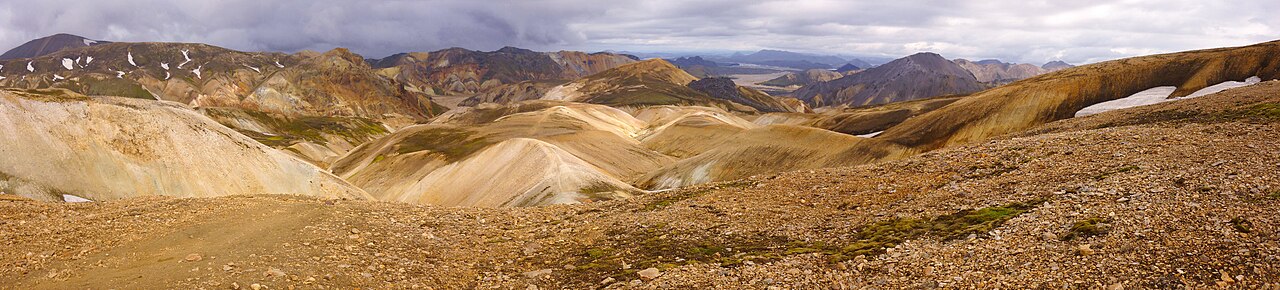
The Suðurnámur hike is one of the best day hikes in Landmannalaugar, Iceland's famous rhyolite mountain area in the southern highlands. The loop is 9.5 km and takes 3–4 hours, with 400 m of ascent and a high point of 920 m. It is less crowded than Bláhnúkur or Brennisteinsalda, and the ridge walk gives a wide view of the whole Landmannalaugar basin.
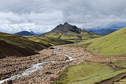
From the ridge you look down on the hut area, the dark Laugahraun lava field, the braided river channels and the colourful peaks around them. The terrain is mostly gravel and scree paths, steep in places, with some narrow sections along the ridge. On a clear day it is one of the most rewarding loops in the area for its length.
Highlights
- Ridge walking with views over the Landmannalaugar basin
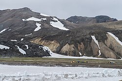
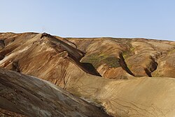
- Rhyolite slopes in orange, green and grey
- Views of the Laugahraun lava field and braided rivers
- Fewer people than the more popular Landmannalaugar peaks
The route
From the hut onto the ridge
The loop starts near the Landmannalaugar hut and campsite and climbs onto the Suðurnámur ridge. The ascent is steady on gravel and scree, sometimes steep. As you gain height, the hut area shrinks below and the colourful peaks and lava field come into view.
Along Suðurnámur
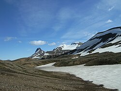
The ridge section reaches 920 m, the highest point of the route. Paths can be narrow, with steep slopes on either side, so take care in wind. Views stretch across the rhyolite mountains, Laugahraun and the river plains, and on clear days to distant glaciers.
Descent back to Landmannalaugar
The trail drops back down toward the valley on loose gravel and scree, which can be slippery. It returns to the hut area to complete the loop. Finish with a soak in the natural hot spring next to the hut.
Getting to the trailhead
Landmannalaugar is reached on highland roads F208 or F225, which require a 4x4 and are open only in summer. The final approach involves a river ford to the hut; many drivers park before the ford and walk across the footbridge. Summer highland buses from Reykjavík also run to Landmannalaugar. Check road.is for road openings and conditions before you go.
Where to stay
Ferðafélag Íslands (FÍ) runs the hut and campsite at Landmannalaugar. Hut bunks must be booked well in advance; the campsite usually has space but is exposed to wind. Other accommodation is limited to highland lodges in the surrounding area, a drive away.
Best time to hike
The trail is accessible in July, August and September, when the highland roads are open. July and August are the most reliable for weather and access; September is quieter but colder, with a risk of early snow.
Safety
Weather in the highlands changes fast; carry waterproofs and warm layers even on sunny days. The ridge is exposed to wind, and scree slopes can be slippery. Stay on marked paths; the rhyolite slopes and geothermal ground are fragile and can be hazardous. Check vedur.is and SafeTravel.is, and call 112 in an emergency.
Plan & book
Book your Landmannalaugar hike
 Transport
Highland Bus to Landmannalaugar
Daily summer buses from Reykjavík to the Laugavegur trailhead. No 4x4 needed.
Reykjavik Excursions · Trex
Huts & staysMountain Huts (Ferðafélag Íslands)
Book bunks in the Laugavegur and highland huts. Summer dates sell out months ahead.
Ferðafélag Íslands (FÍ)
Guided tourLandmannalaugar Day Tour from Reykjavík
A 4x4 or highland-bus day trip with time to hike the rhyolite mountains and bathe in the hot spring.
Licensed Icelandic operators10–12 hours
Online booking opens soon. Press any button to get notified when it does.
Landmannalaugar FAQ
How long is the Suðurnámur hike?+
The loop is 9.5 km and takes 3–4 hours, with 400 m of ascent and a high point of 920 m.
Is the Suðurnámur hike difficult?+
It is rated moderate. The climb is steady and some ridge sections are narrow and exposed, but there are no technical sections.
Do I need a 4x4 to get to Landmannalaugar?+
Yes. The roads to Landmannalaugar are F-roads that require a 4x4. Alternatively, summer highland buses run from Reykjavík.
Hike it with a private guide
Guided trips with a licensed Icelandic guide, including transport and huts.
Private guide requests are coming soon
We are lining up licensed local guides. Sign up and we will let you know as soon as you can request a tailored quote.